Click here for a map suitable for printing.
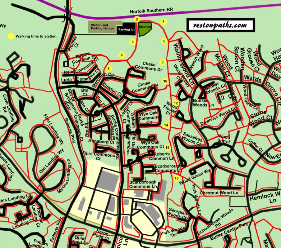
The above map shows the walking time in minutes to the Burke Centre Railroad Station from various points along 2 new trails connecting the station to the Commons and Woods sections of Burke Centre. A walking speed of 2.2 mph was measured which is probably slower than the average walker maintains. There is only a slight grade along the trail to the east while the other trail descends a hill. Both trails are partially shaded making them a desirable option versus driving.
Building a new station and parking garage will help to switch more commuters to public transist. The planners showed good sense adding these trails that connect more residents to the station via 2 new bridges over local streams.
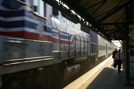 |
A westbound train passes through the station returning from the morning commuter run. |
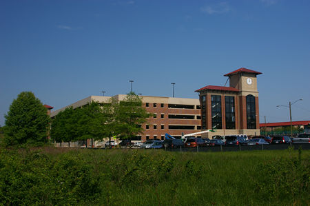 |
The station and parking garage just prior to completion. Notice the beautiful clock tower. |
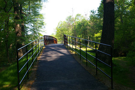 |
This bridge enables residents of the Woods section to easily walk to the station. A similar bridge connects the Commons section to the station. |
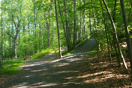 |
The new trail is on the left. Existing trails are in the middle and on the right. |